HOW ARE YOUR MAPS CREATED?
I use a combination of GIS (Geographic Information Systems) software and vector graphics software to build my maps. I gather open-source data from sources like USGS and state and local governments, then use a variety of GIS tools and analysis to develop the custom look and colors. Labels are placed by hand.
HOW CAN I BUY A MAP?
If you are in the Boise area you can find a selection of my maps (specifically the Idaho-based maps) at Handmade Idaho, in the Boise Towne Square mall and at Idaho Mountain Touring in downtown Boise.
If you are in the Minneapolis area, find a selection of Minnesota-based maps at Picadilly Prarie stores.
WHO ARE YOU?
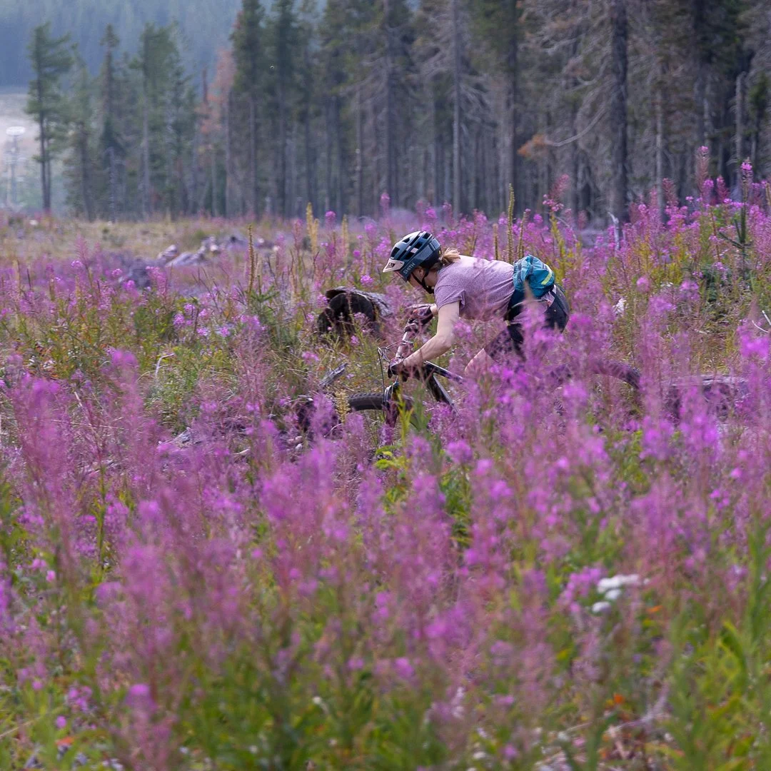
Originally from Wisconsin, I attended college at St Olaf College in Minnesota, where I majored in Environmental Studies. After college I held several internships that took me all over - from Lake Clark National Park in Alaska, to the California Desert District, to the Pacific Crest Trail. I eventually landed in Boise with a job that took me to wildlife refuges throughout US. Following months of travel to every corner of the United States, I decided to put down roots and take a job that would allow me to come home to the same house every night. Now I explore the local trails during the week, and with any luck get further out of town on the weekends. Creating maps of places I’ve been and places I’d love to go allows me to travel from my house, when I’m unable to actually leave town. I am happiest on a bike, and second-happiest on skis. When I’m not exploring the land virtually my main priorities are mountain biking and consuming delicious food and beer. And repeat.
I’m constantly working on new projects, so check back often and follow me on Instagram @aatopomaps to see the latest maps!