How to make a map
I thought I’d give a peek into the process behind making a topographic map.
My maps take several days or even weeks to create. I utilize many data sources, like the USGS (which I heavily rely on for the elevation data that provides the literal ground for my map), state and local resources, mapping websites like CalTopo, TrailForks, MTB Project, and Google Maps, and other mapping blogs or cartographic resources for occasional inspiration or tutorials on how to achieve certain effects.
There are many decisions to be made along the way - I’ve heard it said that what is left off the map is as important as what is put on the map - the idea being that you don’t want to confuse your audience by including irrelevant information. Depending on the focus of a specific map, I might label trails and roads and towns and etc. Or if the focus is more specific, like my ski resort maps, I’ll leave most labels off and just include the most relevant information. There’s also color choice - will the map represent the actual look of the landscape? Or is it a more fun and creative take - like with my Bighorn Crags Moonlight or Idaho Mountain Ranges maps.
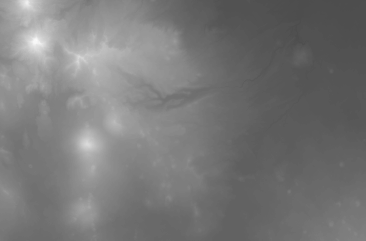
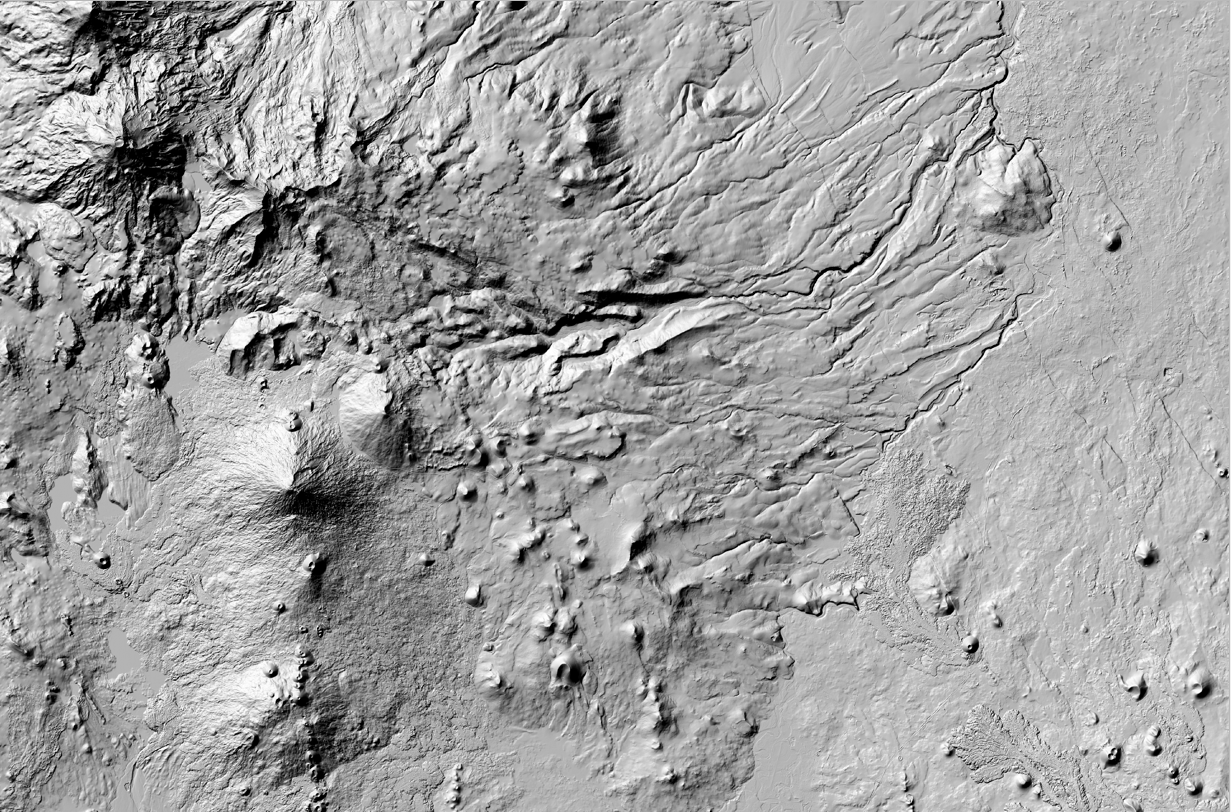
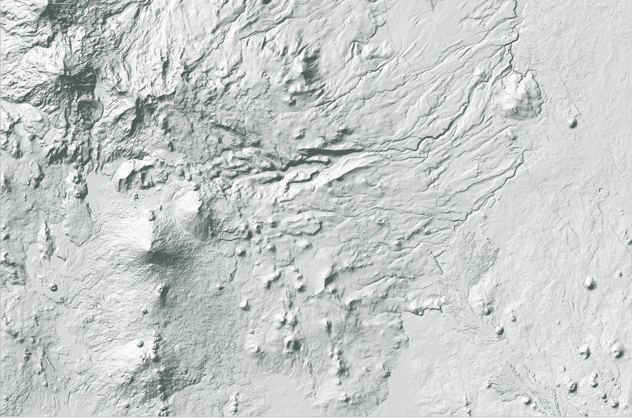
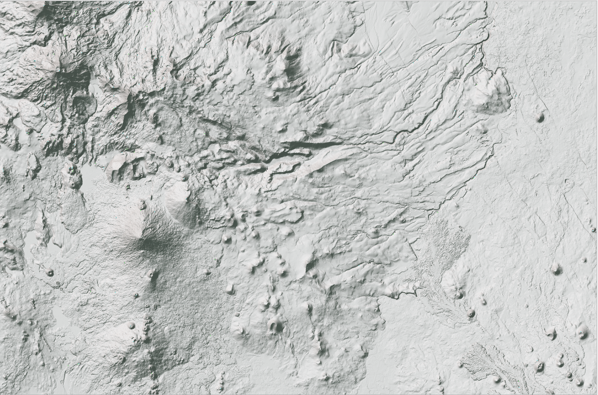
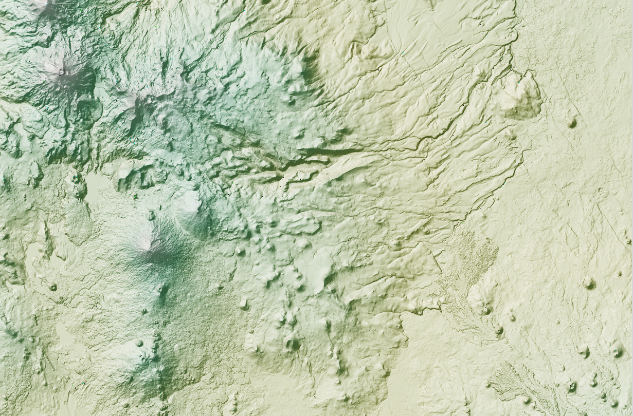
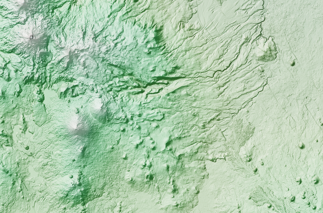
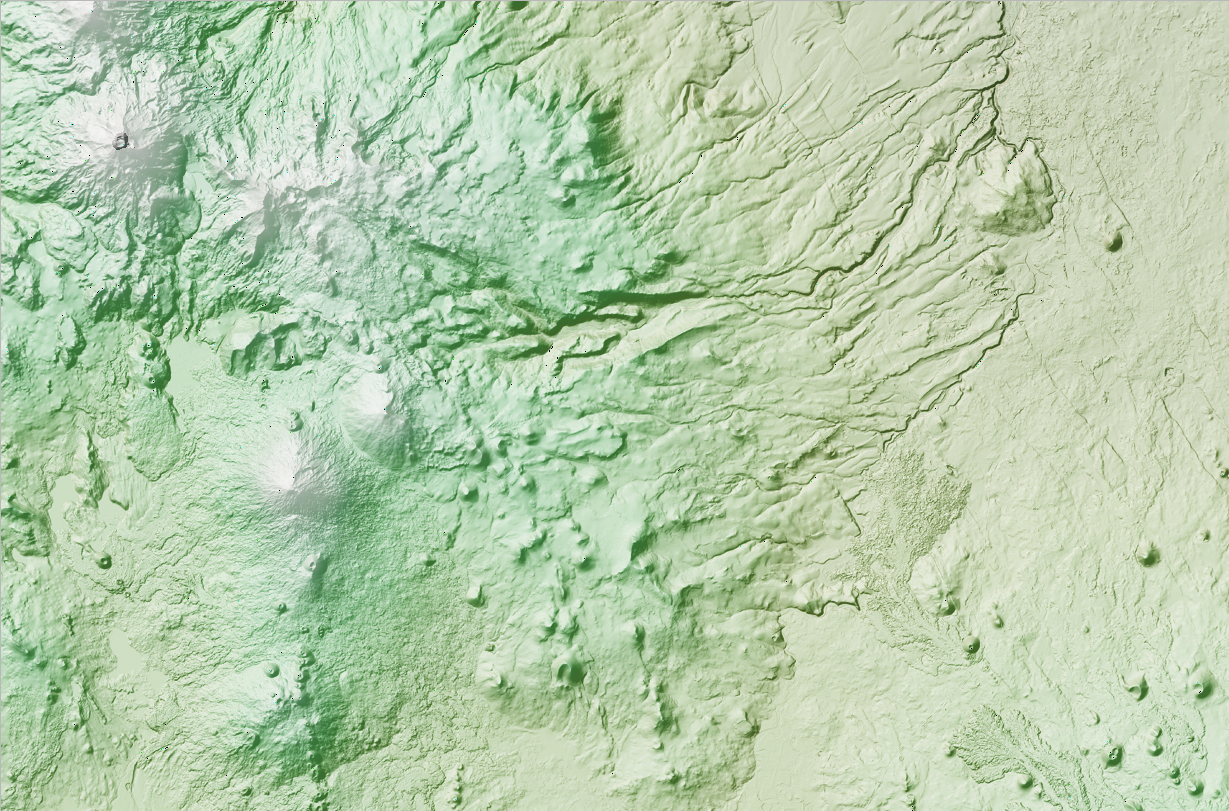
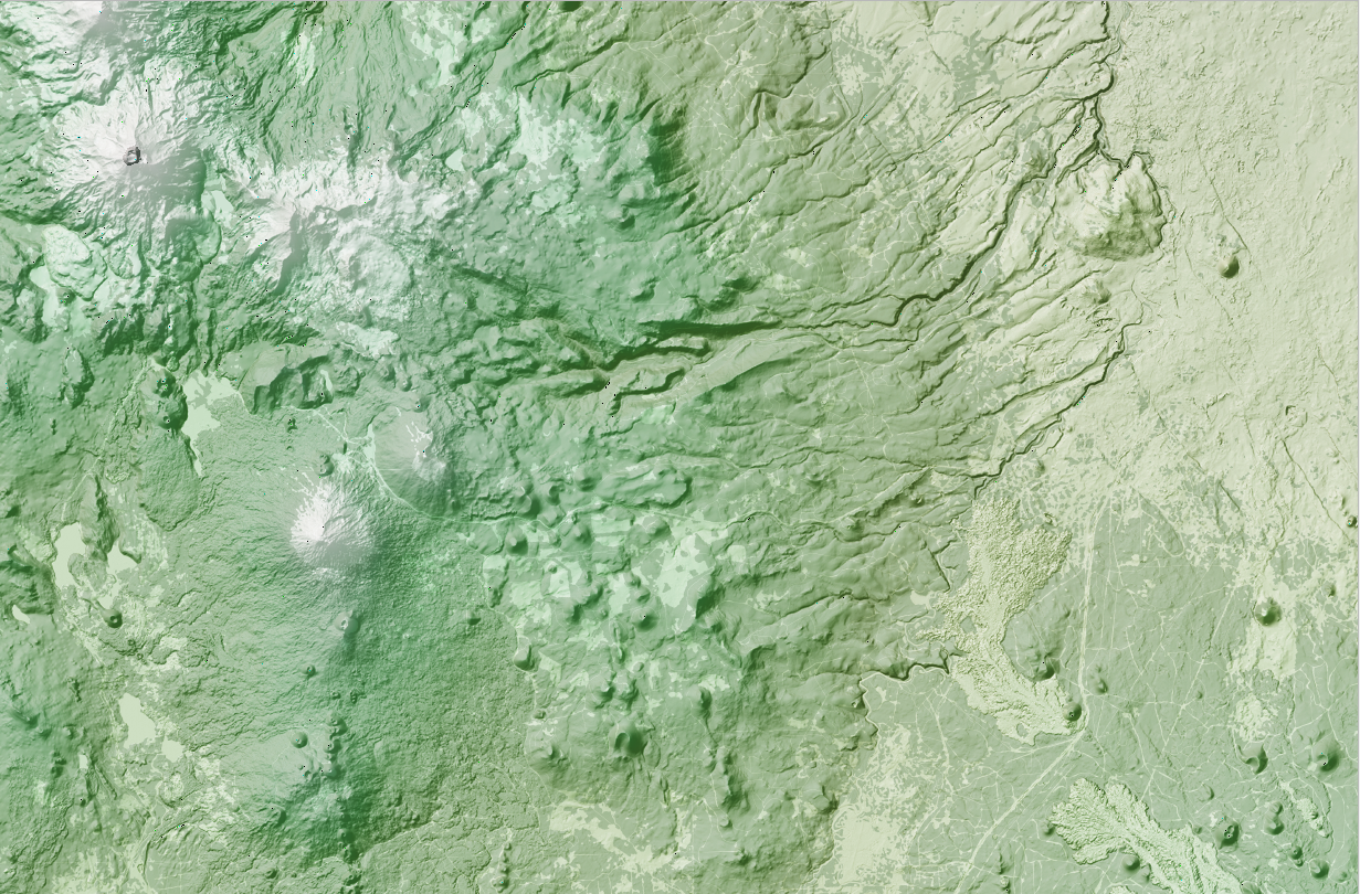
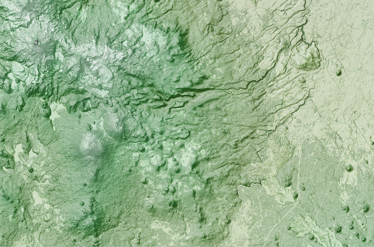
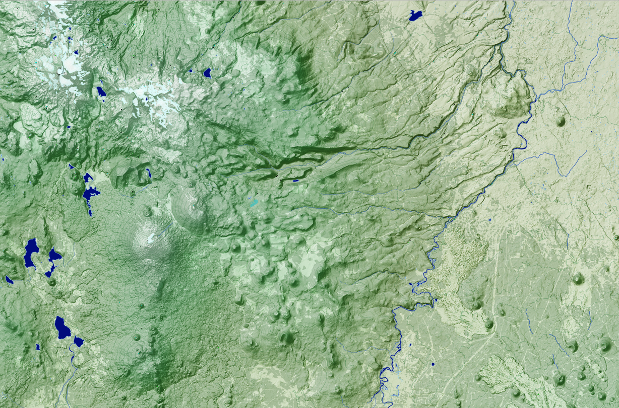
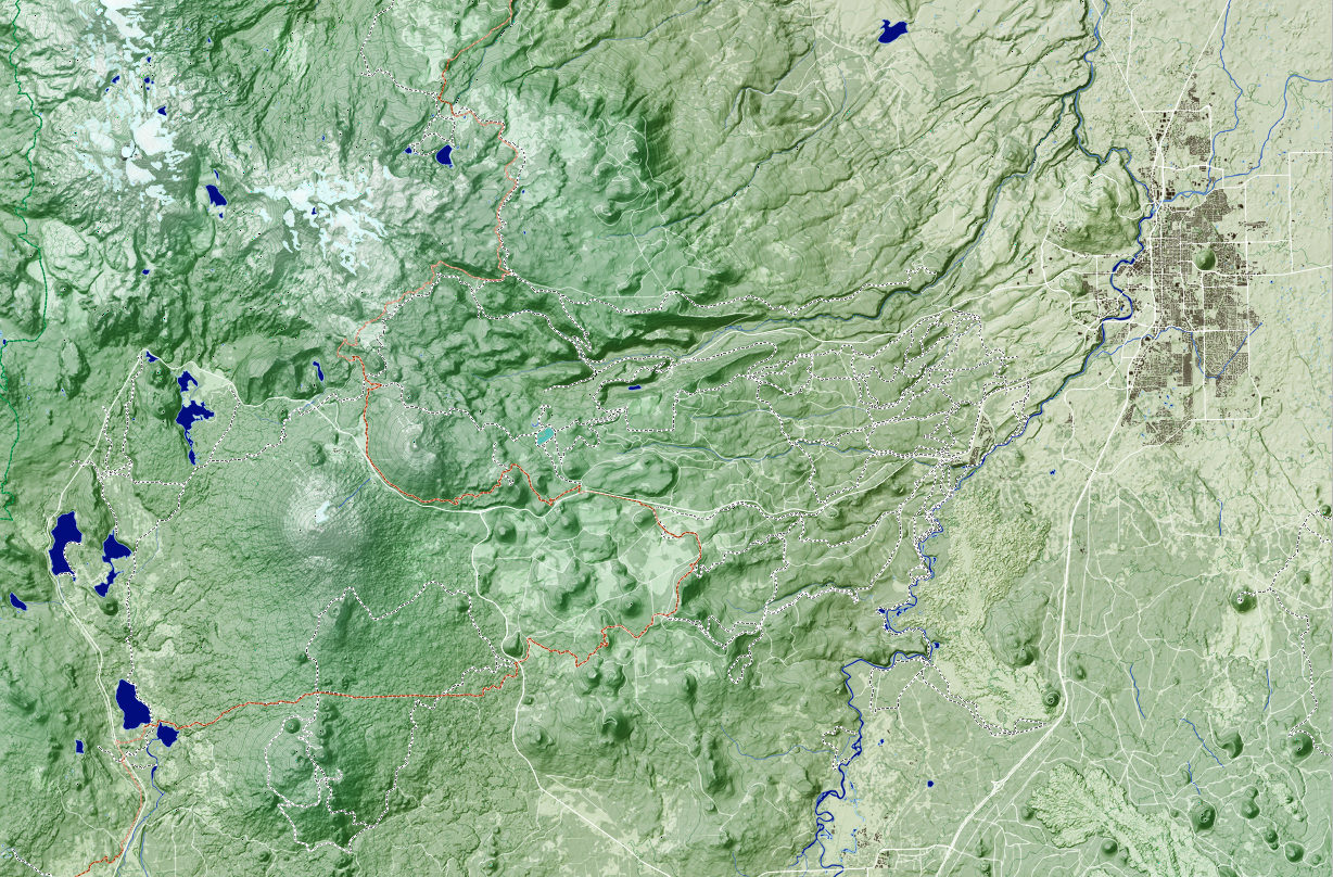
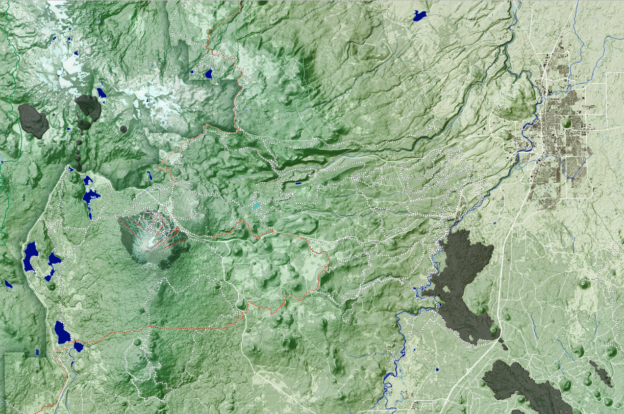
After hours of searching and adding and removing and changing… a map is born! See a simplified version of the process below. Can you tell the differences between each image? Sometimes the changes are subtle, and yet they contribute greatly to the final effect. To summarize: start with a Digital Elevation Model (or DEM - this is a raster image where each pixel represents an elevation). Turn the DEM into a Hillshade. Alter the appearance of the hillshade (this is typically done later in the process - there is a lot of back-and-forth editing the look of different layers to see how they interact with each other). Add a slope layer (very subtle, highlighting only areas of steep slope). Re-add the DEM, but with a new color scheme. Add another DEM with a different color scheme. Add yet another DEM, with yet another subtle color scheme change. Add tree cover. It’s really starting to look like something now! Add contour lines. Add water features (lakes, marshes, streams, rivers, and glaciers). Add roads, trails, and buildings. And finally, finishing touches on this map were wilderness boundaries, lava flows (!) and details on Mount Bachelor Ski Resort.
Maybe you knew it all along, or maybe you are wondering where IS this cool looking place? It’s the area around Bend, Oregon. That place everyone wants to live right now. Initially I’d created this map with a mountain bike focus, but have since edited it so anyone who’s into recreating in Bend, whether on wheels, skis, or foot, might take a liking to the print.
If you have taken a liking to it, see the finished product here: Bend Oregon Topographic Map