 Image 1 of 4
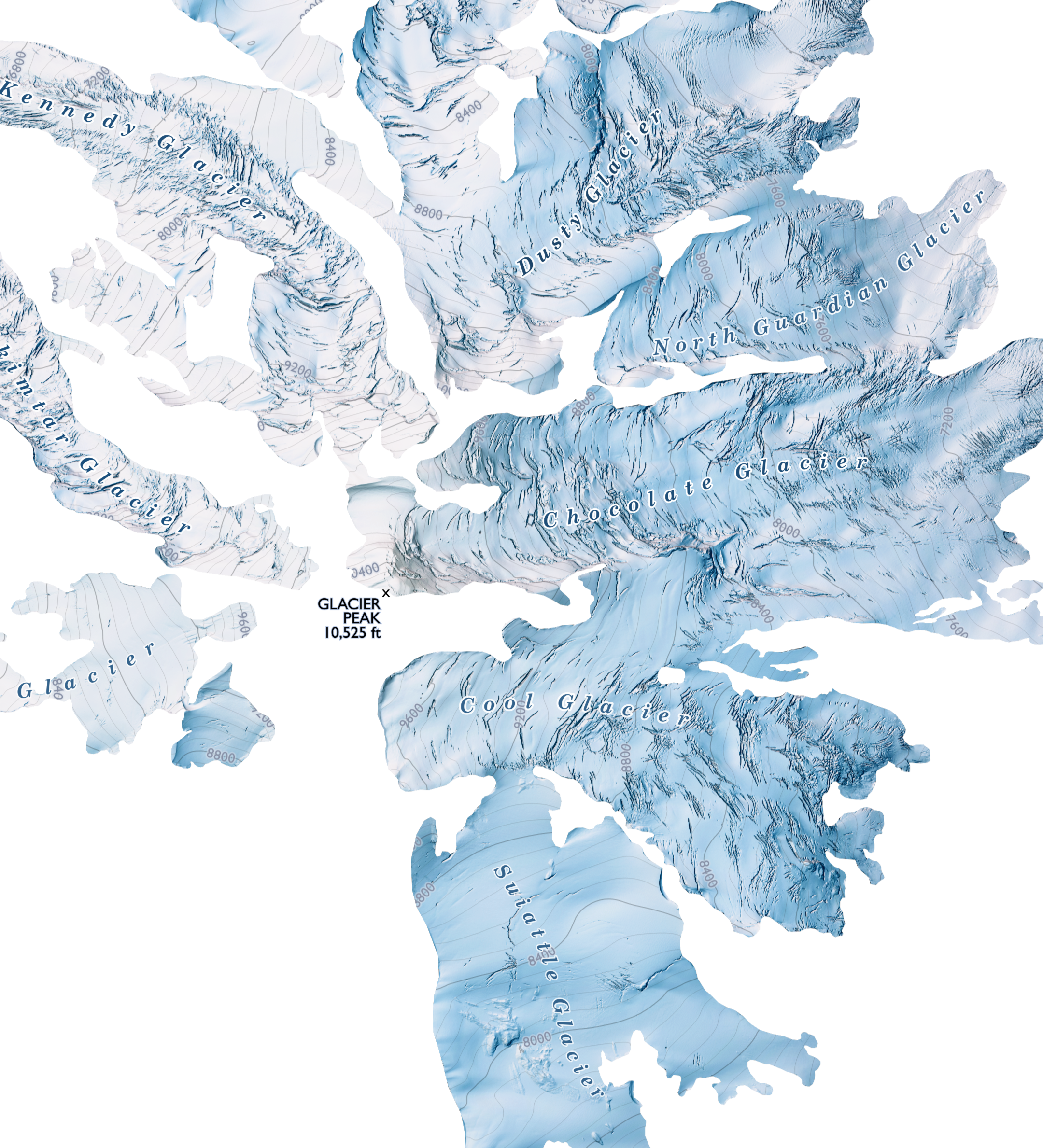 Image 2 of 4
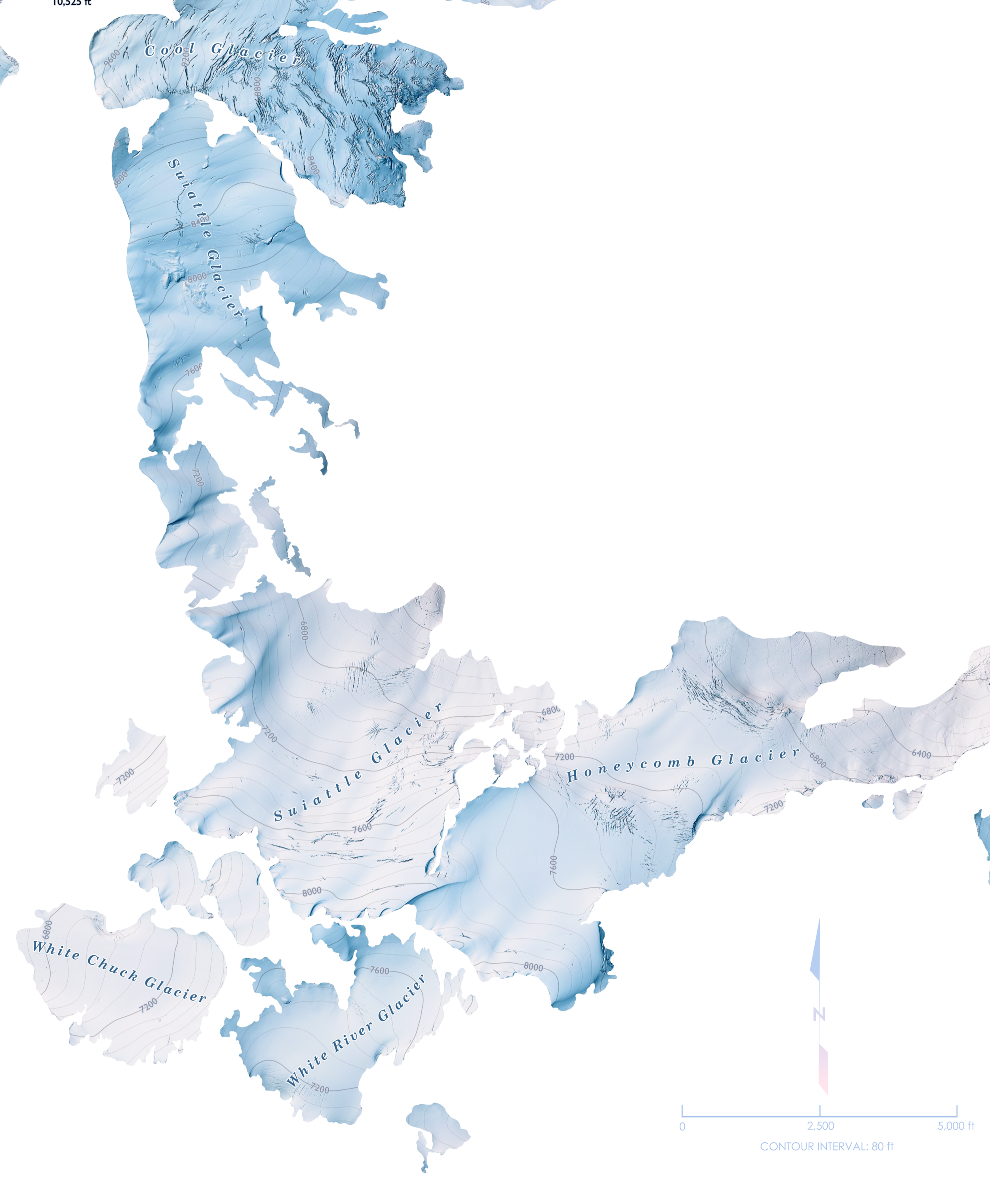 Image 3 of 4
 Image 4 of 4
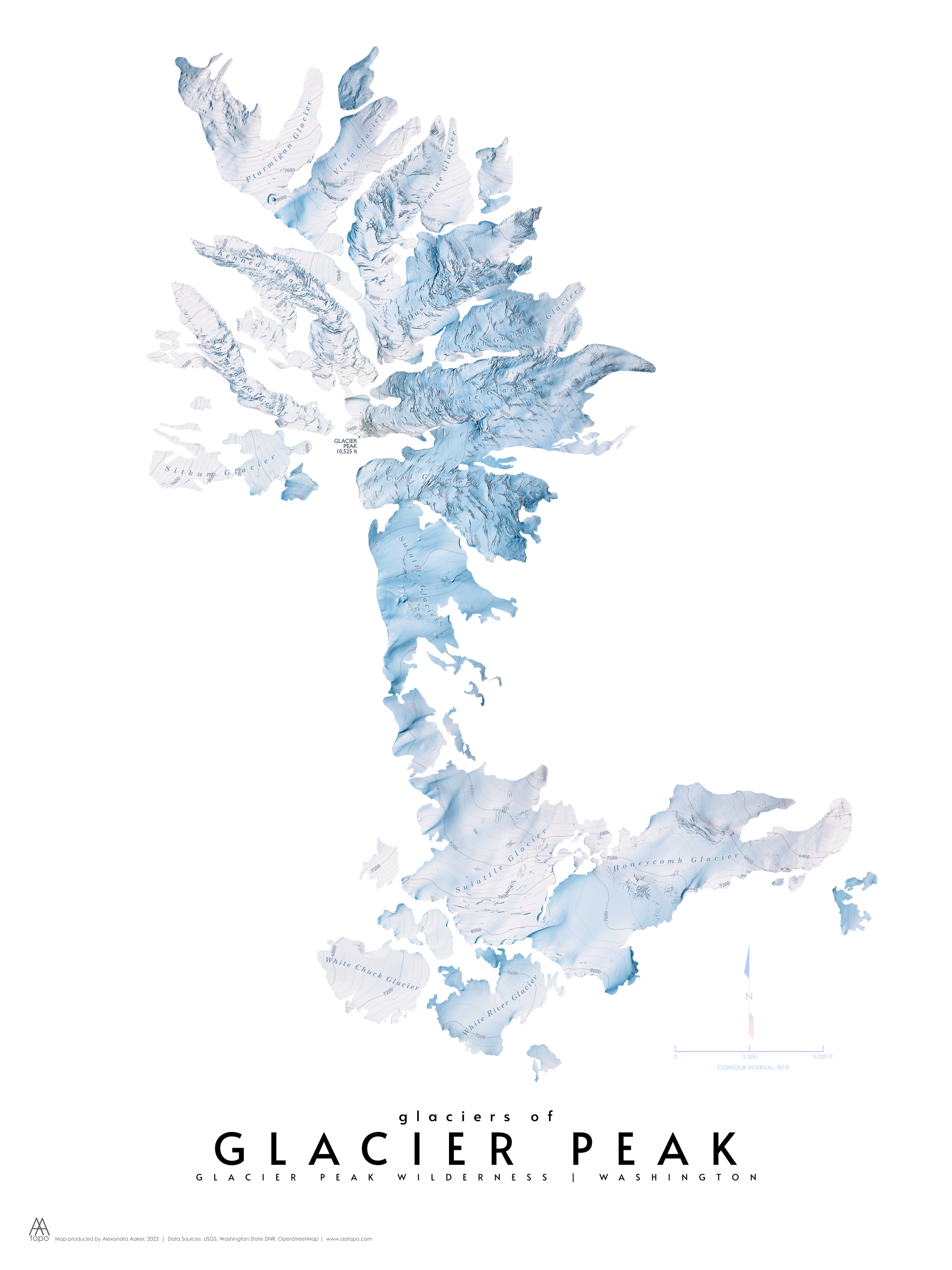
An icy map showing only the glaciers that are present on Glacier Peak in Washington. The extent also includes the glaciers south of Glacier Peak - past Glacier Gap and Kololo Peak - East. This map was made using terrain generated from very high-resolution elevation data. Other elements on the map include glacier labels and contour lines.
Please keep in mind that the colors on your computer screen can differ from the actual print colors.
All AA Topo maps are created from scratch in Boise, Idaho. "From scratch" means the data is gathered from original sources and brought into a mapping program, where the cartography happens. Layers and layers of data are transformed into meaningful representations of a landscape - with special attention given to color. My hope is that each map evokes the feeling of being in that place.
Giclée printing quality
Paper size: 18x24 inches with 0.5 inch white border
**All prints sold unframed**
An icy map showing only the glaciers that are present on Glacier Peak in Washington. The extent also includes the glaciers south of Glacier Peak - past Glacier Gap and Kololo Peak - East. This map was made using terrain generated from very high-resolution elevation data. Other elements on the map include glacier labels and contour lines.
Please keep in mind that the colors on your computer screen can differ from the actual print colors.
All AA Topo maps are created from scratch in Boise, Idaho. "From scratch" means the data is gathered from original sources and brought into a mapping program, where the cartography happens. Layers and layers of data are transformed into meaningful representations of a landscape - with special attention given to color. My hope is that each map evokes the feeling of being in that place.
Giclée printing quality
Paper size: 18x24 inches with 0.5 inch white border
**All prints sold unframed**