 Image 1 of 4
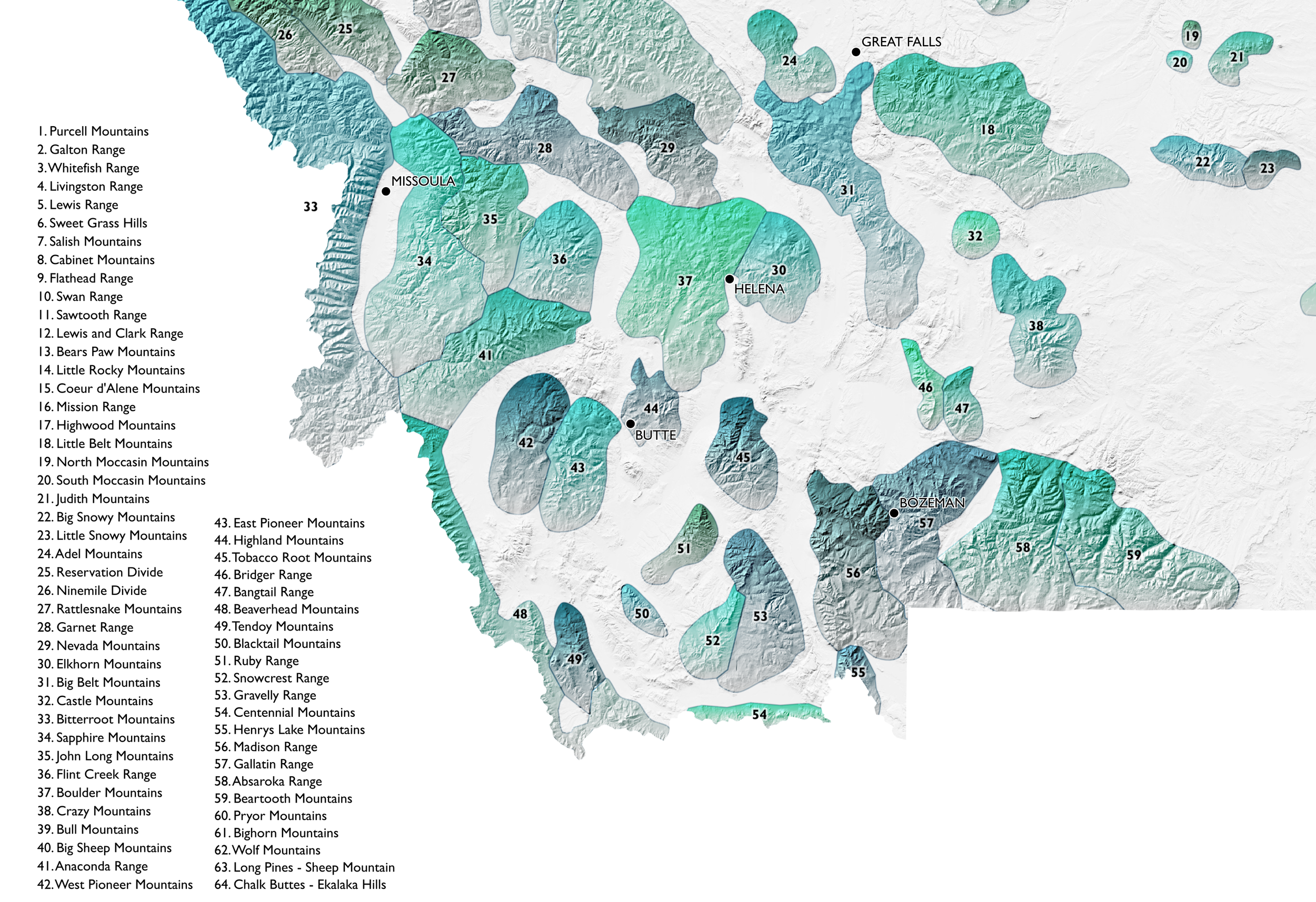 Image 2 of 4
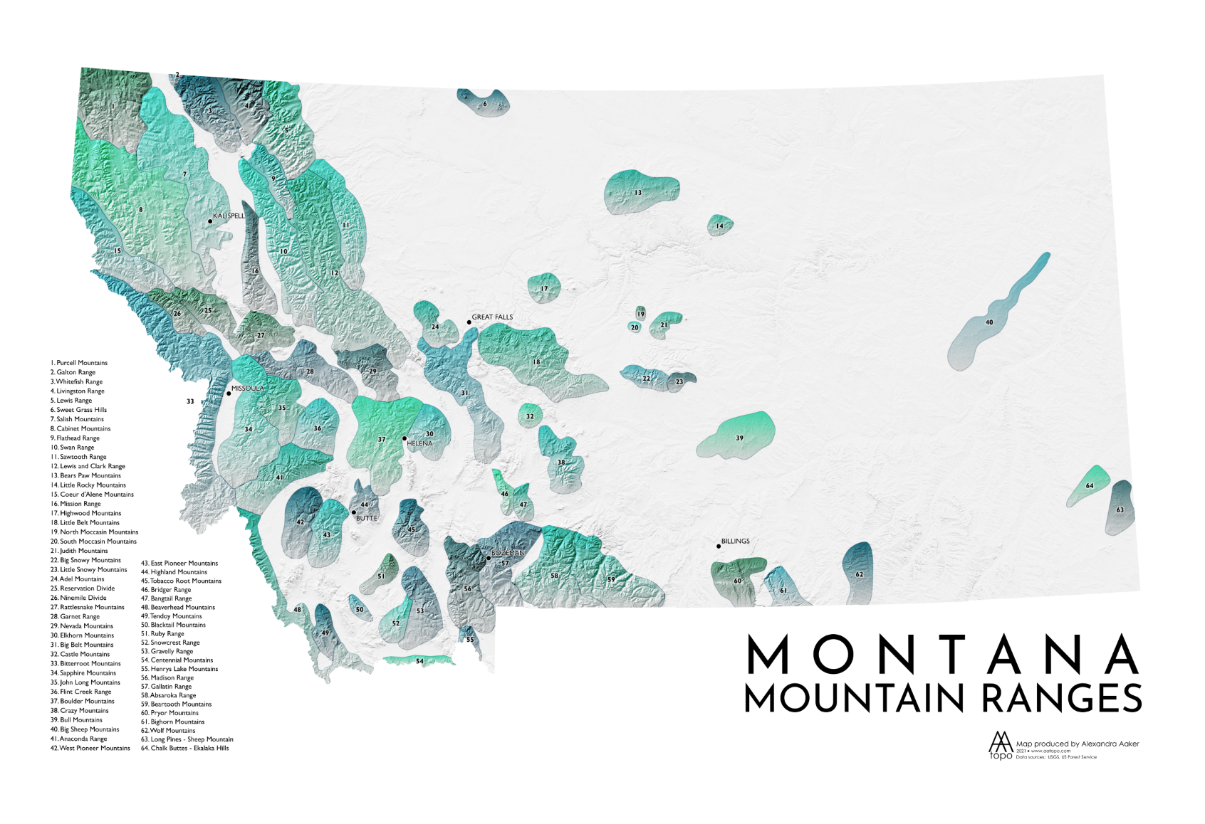 Image 3 of 4
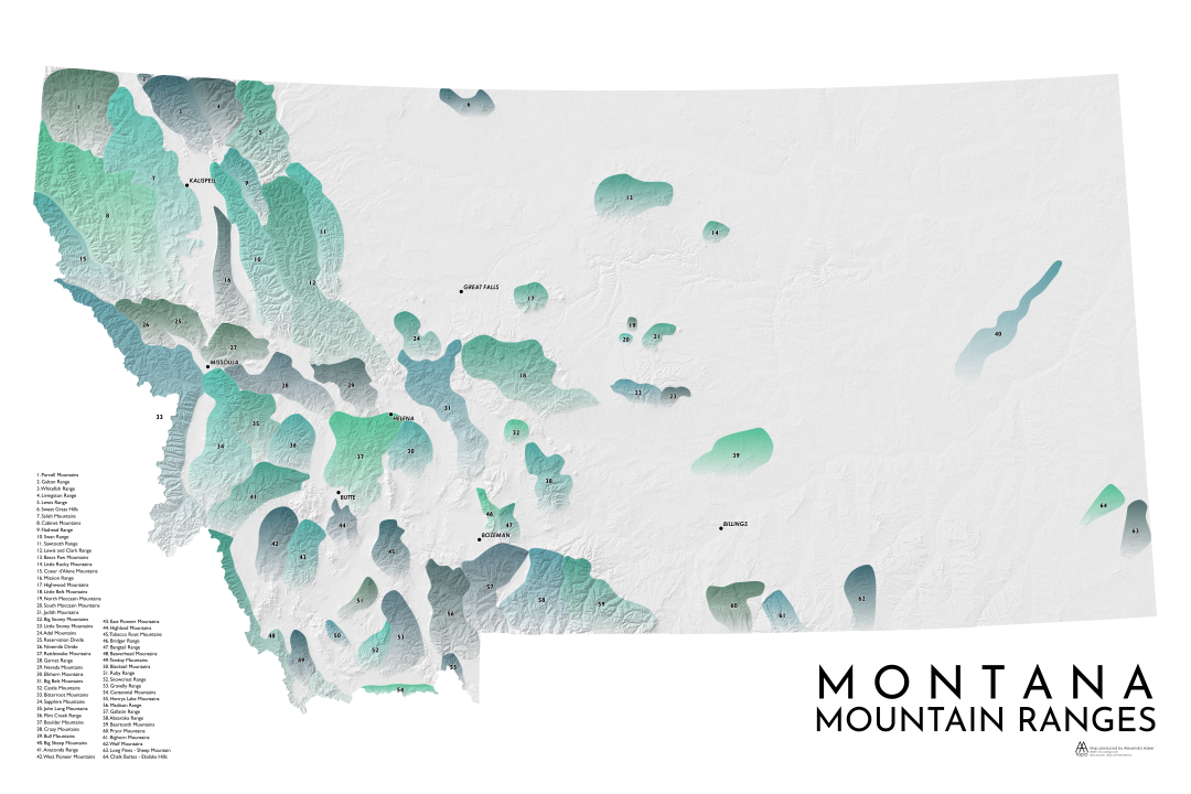 Image 4 of 4
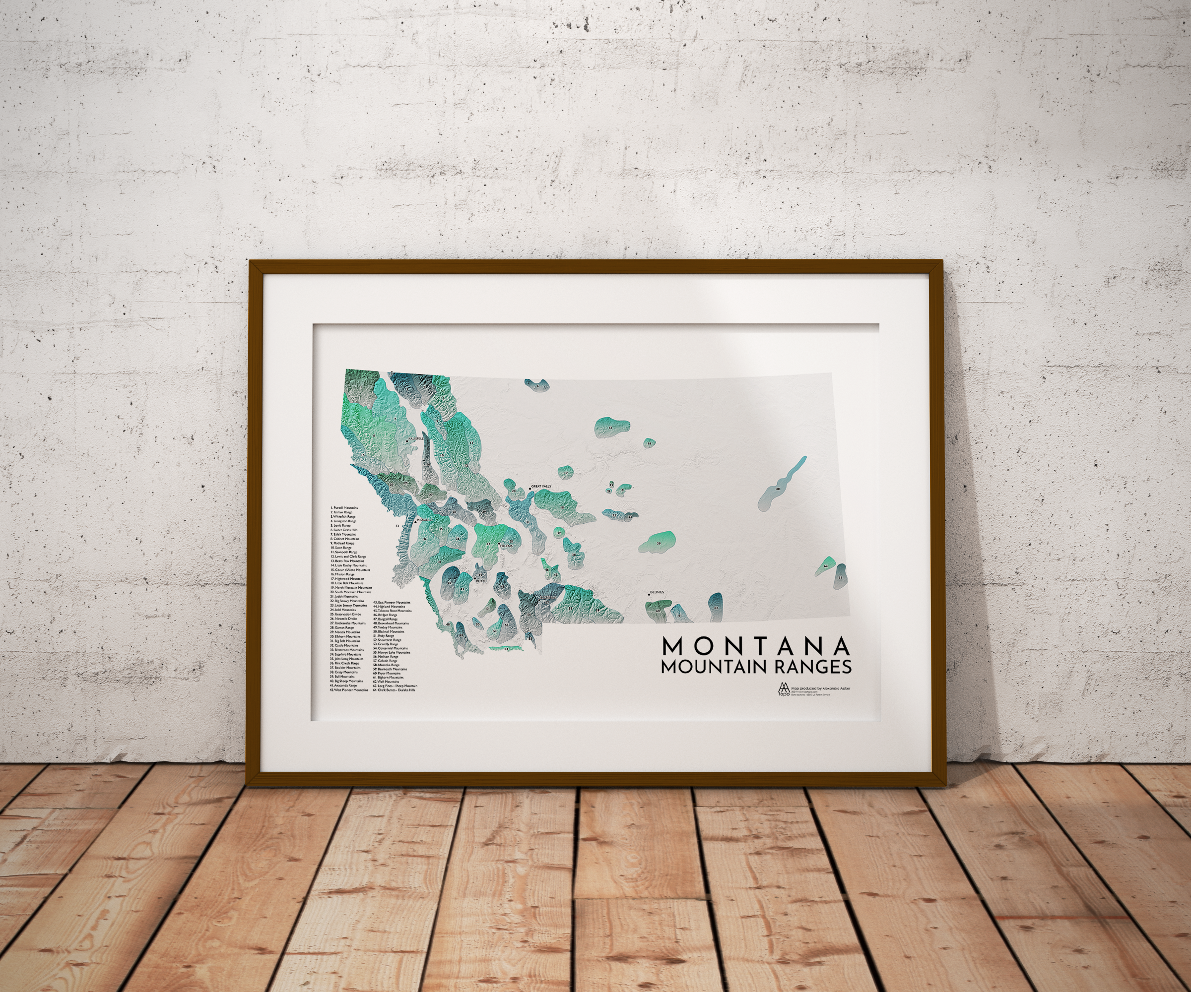
An artistic relief map of all the mountain ranges in Montana.
Montana, as the name reflects, is a mountainous state, even though most of the state (about sixty percent) is actually prairie. There are a lot of mountains fit into that remaining forty percent, as almost all of the ranges are concentrated on the western end of the state, within the larger Rocky Mountain range. Notable ranges include the Bitterroots (one of the longest continuous ranges in the Rocky Mountains), the Cabinet Mountains, the Anaconda Range, the Missions, the Garnet Range, the Sapphire Mountains, and the Flint Creek Range.
All AA Topo maps are created from scratch in Boise, Idaho. "From scratch" means the data is gathered from original sources and brought into a mapping program, where the cartography happens. Layers and layers of data are transformed into meaningful representations of a landscape - with special attention given to color. My hope is that each map evokes the feeling of being in that place.
• Paper thickness: 10.3 mil
• Paper weight: 189 g/m²
• Opacity: 94%
• ISO brightness: 104%
• Paper is sourced from Japan
This product is made especially for you as soon as you place an order, which is why it takes us a bit longer to deliver it to you. Making products on demand instead of in bulk helps reduce overproduction, so thank you for making thoughtful purchasing decisions!
An artistic relief map of all the mountain ranges in Montana.
Montana, as the name reflects, is a mountainous state, even though most of the state (about sixty percent) is actually prairie. There are a lot of mountains fit into that remaining forty percent, as almost all of the ranges are concentrated on the western end of the state, within the larger Rocky Mountain range. Notable ranges include the Bitterroots (one of the longest continuous ranges in the Rocky Mountains), the Cabinet Mountains, the Anaconda Range, the Missions, the Garnet Range, the Sapphire Mountains, and the Flint Creek Range.
All AA Topo maps are created from scratch in Boise, Idaho. "From scratch" means the data is gathered from original sources and brought into a mapping program, where the cartography happens. Layers and layers of data are transformed into meaningful representations of a landscape - with special attention given to color. My hope is that each map evokes the feeling of being in that place.
• Paper thickness: 10.3 mil
• Paper weight: 189 g/m²
• Opacity: 94%
• ISO brightness: 104%
• Paper is sourced from Japan
This product is made especially for you as soon as you place an order, which is why it takes us a bit longer to deliver it to you. Making products on demand instead of in bulk helps reduce overproduction, so thank you for making thoughtful purchasing decisions!