A decorative map print showing Oregon's major rivers and their tributaries. This map was created using hydrography data from the USGS, and displays only major rivers and their larger tributaries.
I love these river maps because they provide a clear way to trace how river systems connect. I’m often referring back to them after being out in a new area and trying to wrap my mind around how everything fits together.
• Dimensions: 18×24 inches
• Paper thickness: 10.3 mil
• Paper weight: 189 g/m²
• Opacity: 94%
• ISO brightness: 104%
• Paper is sourced from Japan
This product is made especially for you as soon as you place an order.. Making products on demand instead of in bulk helps reduce overproduction, so thank you for making thoughtful purchasing decisions!
A decorative map print showing Oregon's major rivers and their tributaries. This map was created using hydrography data from the USGS, and displays only major rivers and their larger tributaries.
I love these river maps because they provide a clear way to trace how river systems connect. I’m often referring back to them after being out in a new area and trying to wrap my mind around how everything fits together.
• Dimensions: 18×24 inches
• Paper thickness: 10.3 mil
• Paper weight: 189 g/m²
• Opacity: 94%
• ISO brightness: 104%
• Paper is sourced from Japan
This product is made especially for you as soon as you place an order.. Making products on demand instead of in bulk helps reduce overproduction, so thank you for making thoughtful purchasing decisions!
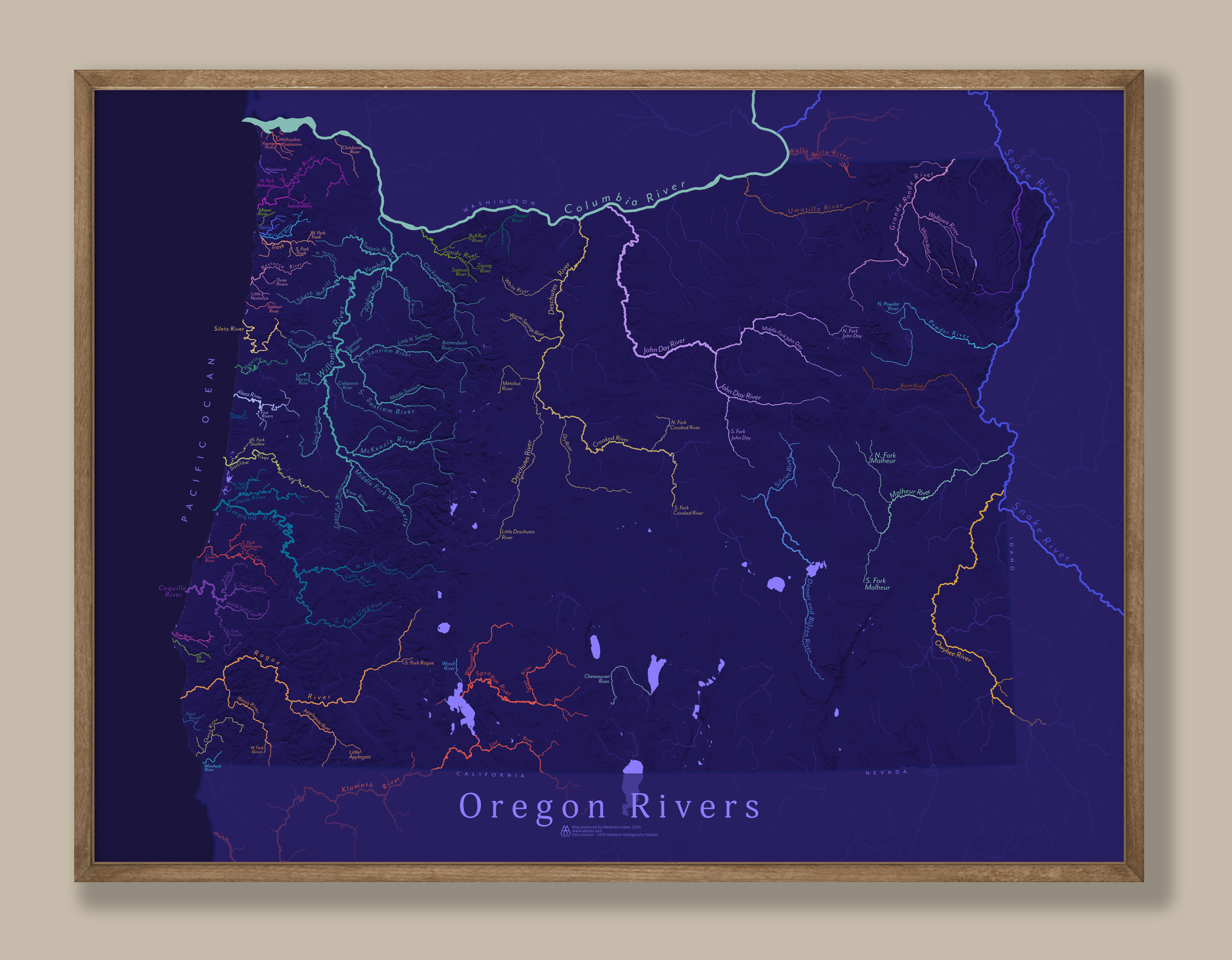 Image 1 of 6
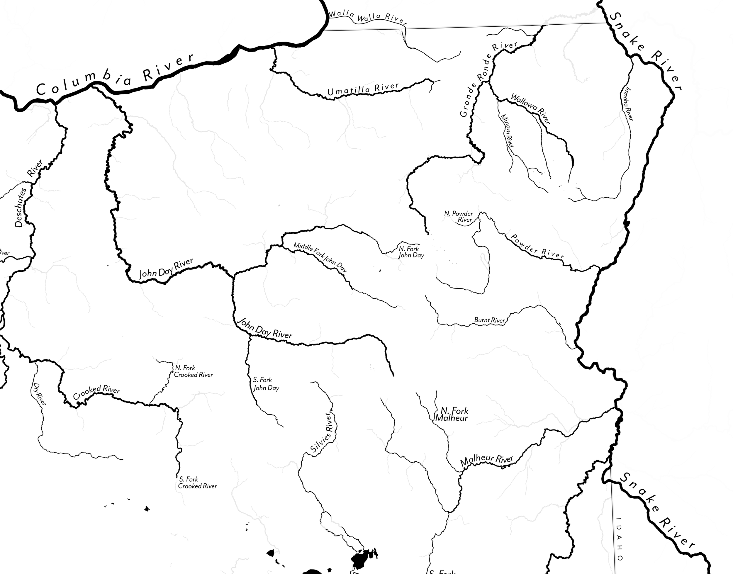 Image 2 of 6
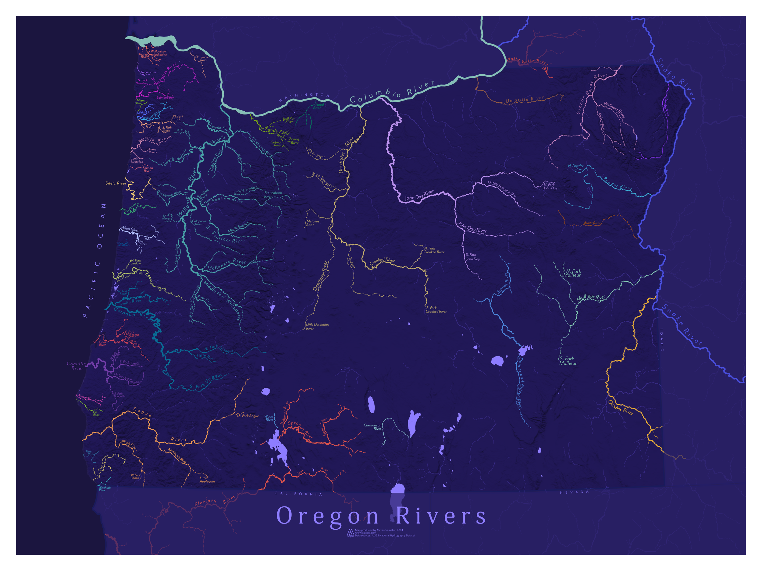 Image 3 of 6
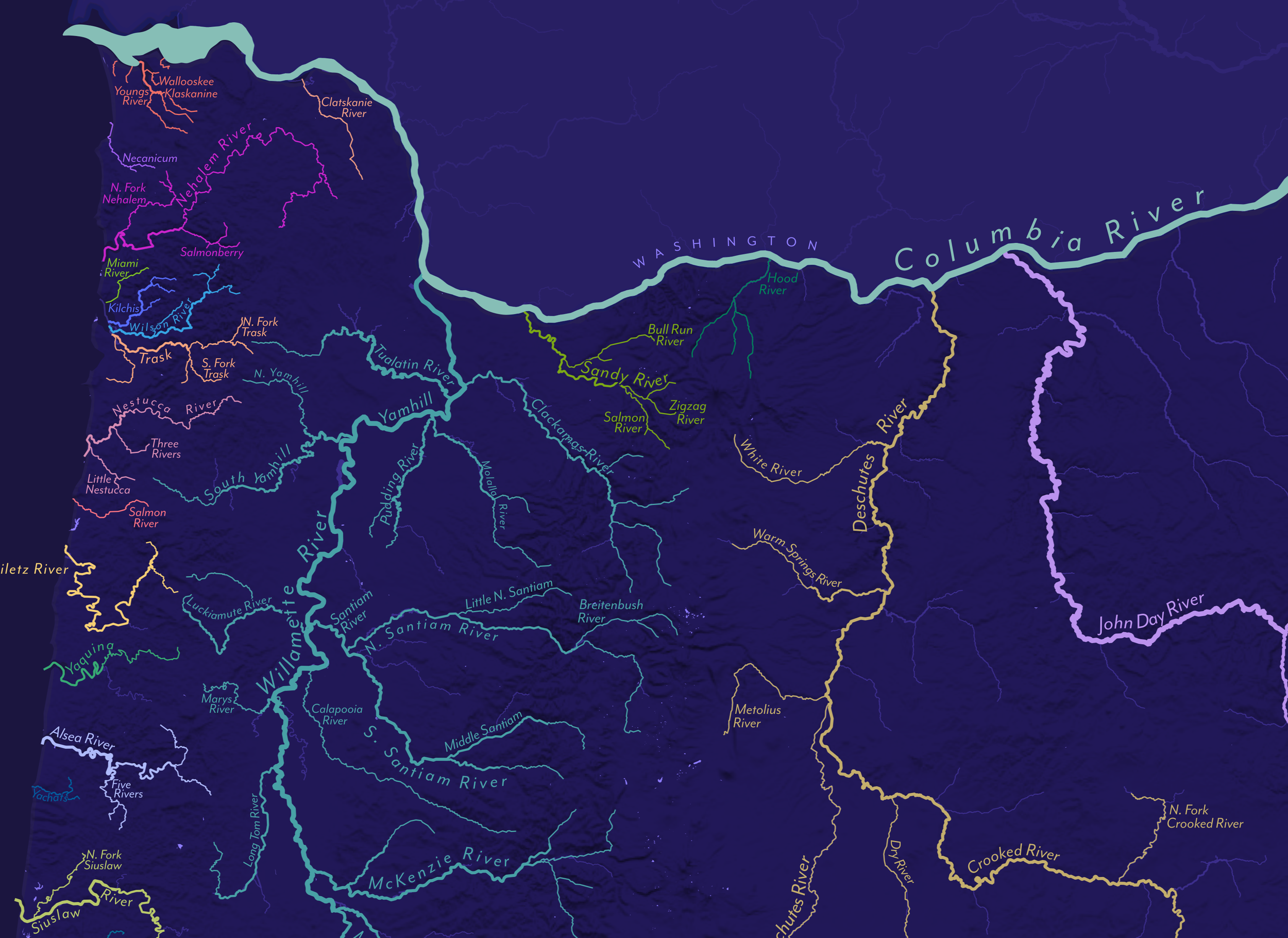 Image 4 of 6
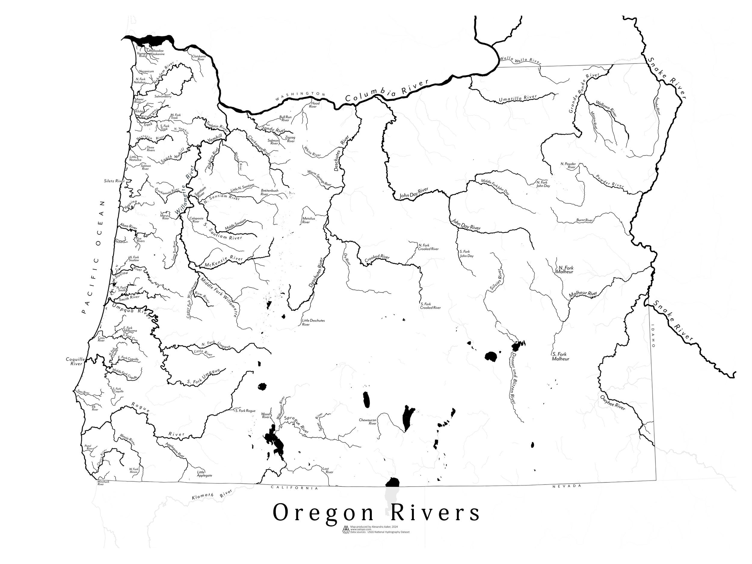 Image 5 of 6
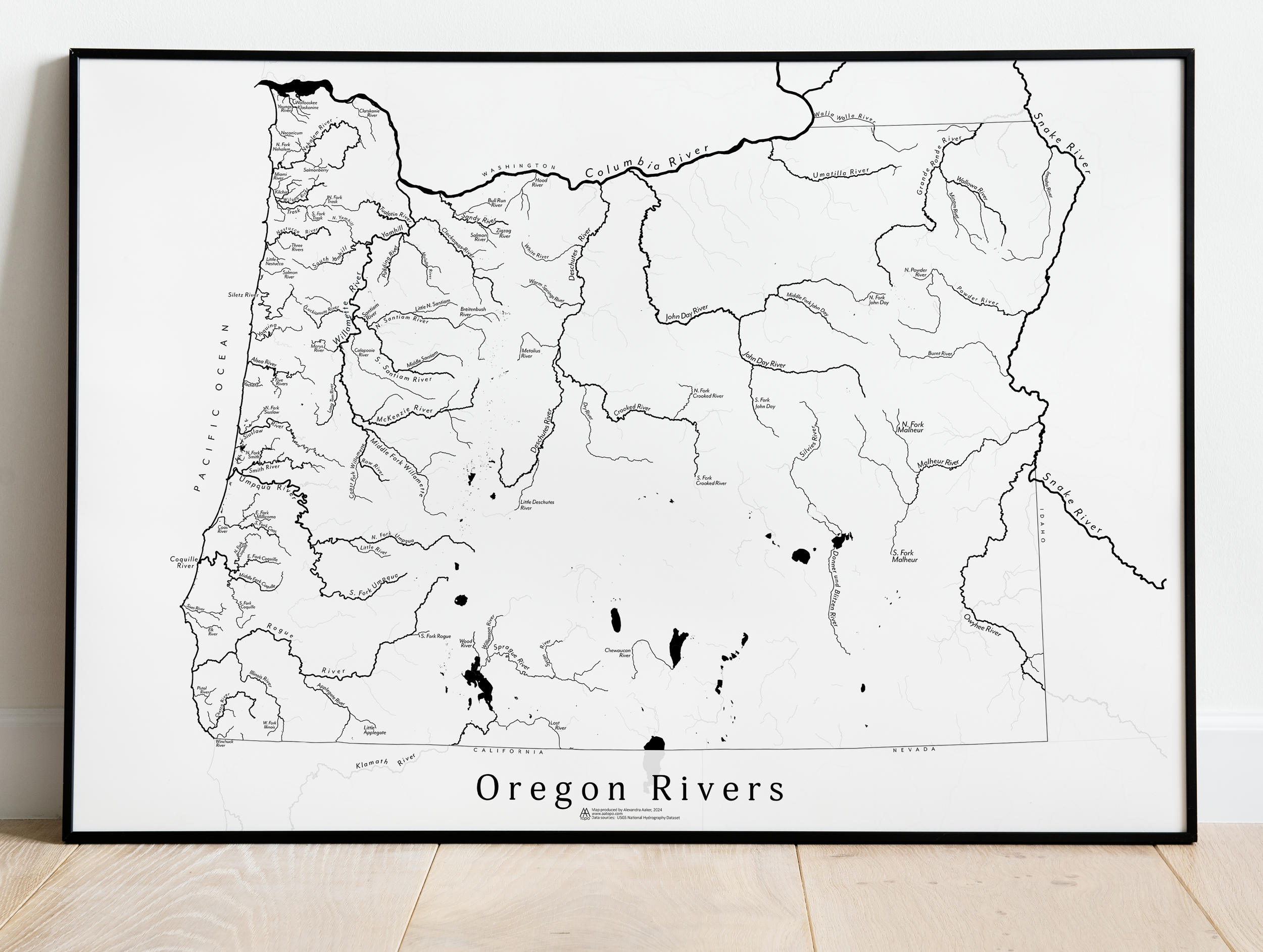 Image 6 of 6