Public Land Maps collection - Western US
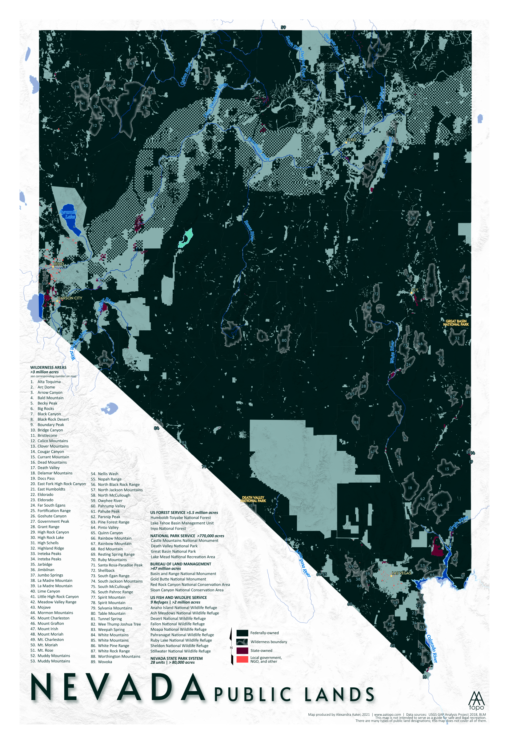
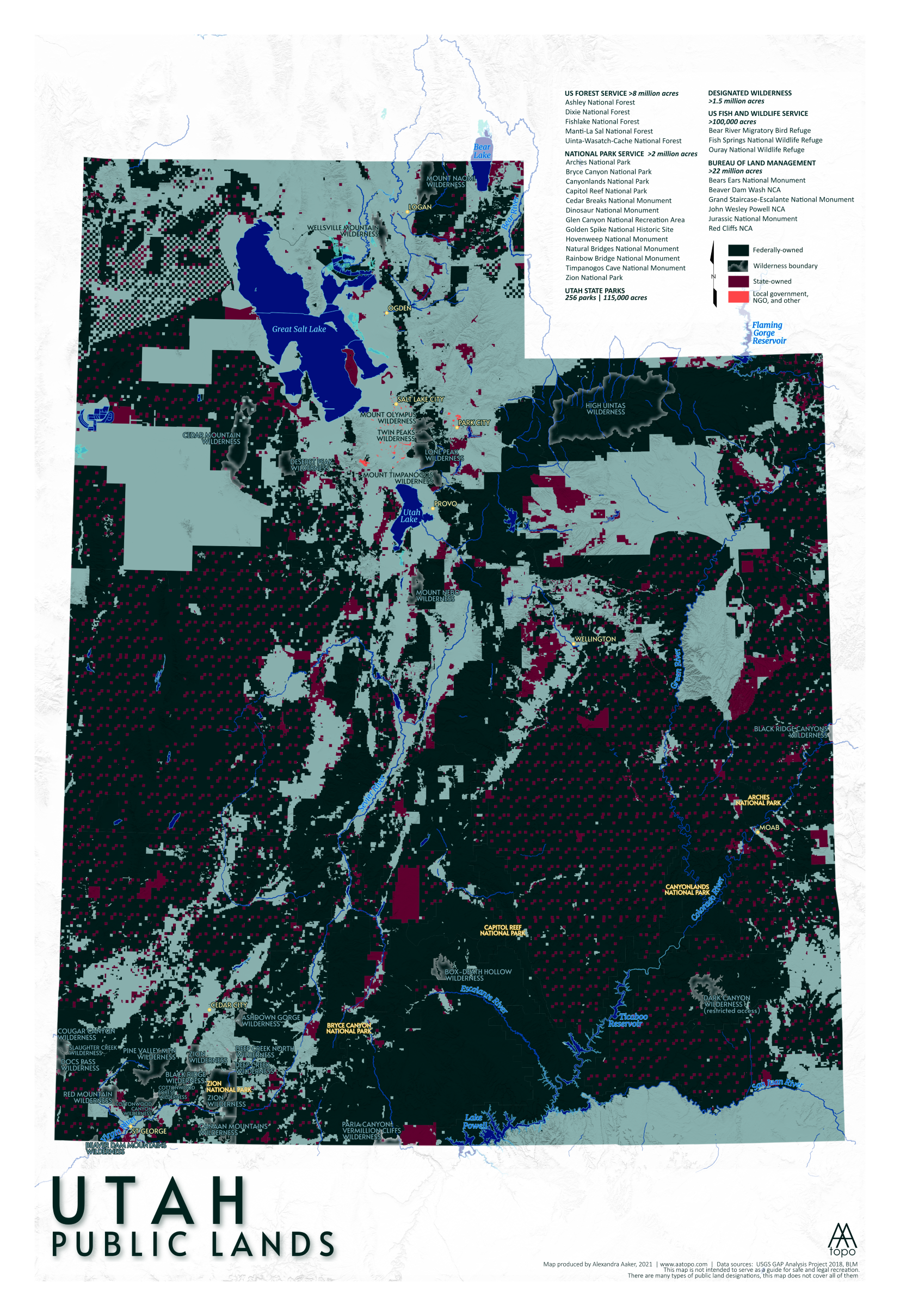
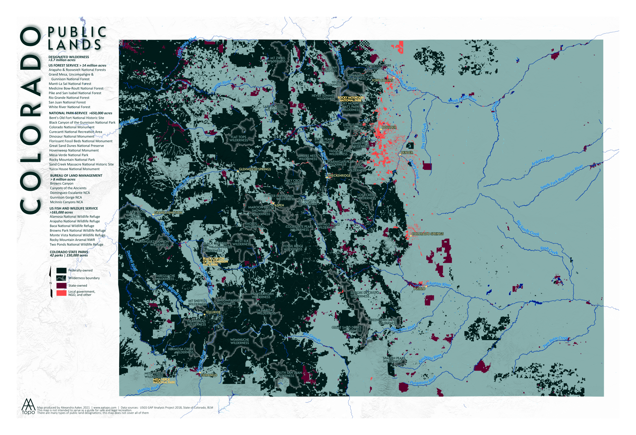
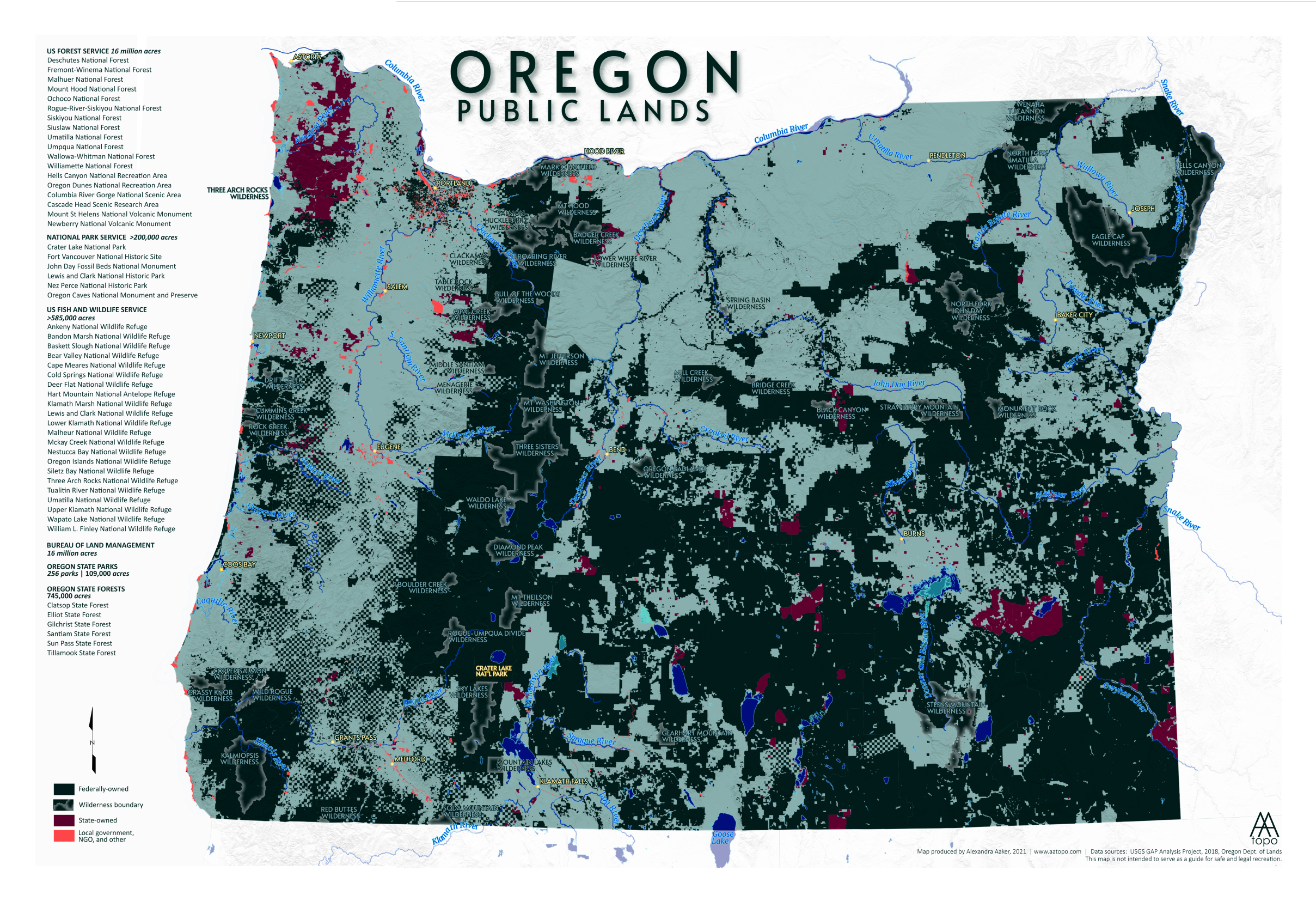
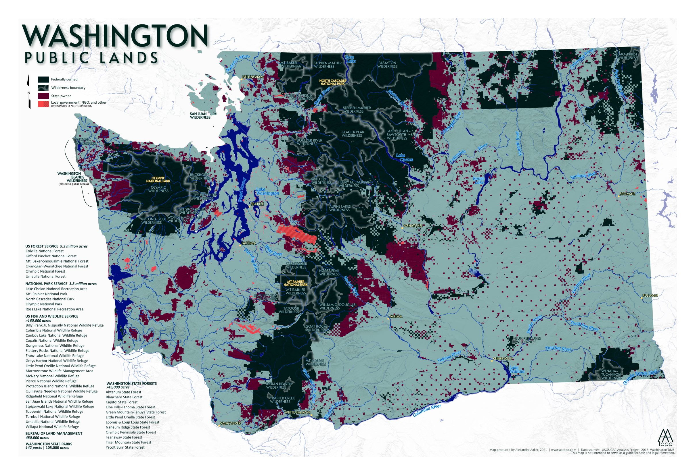
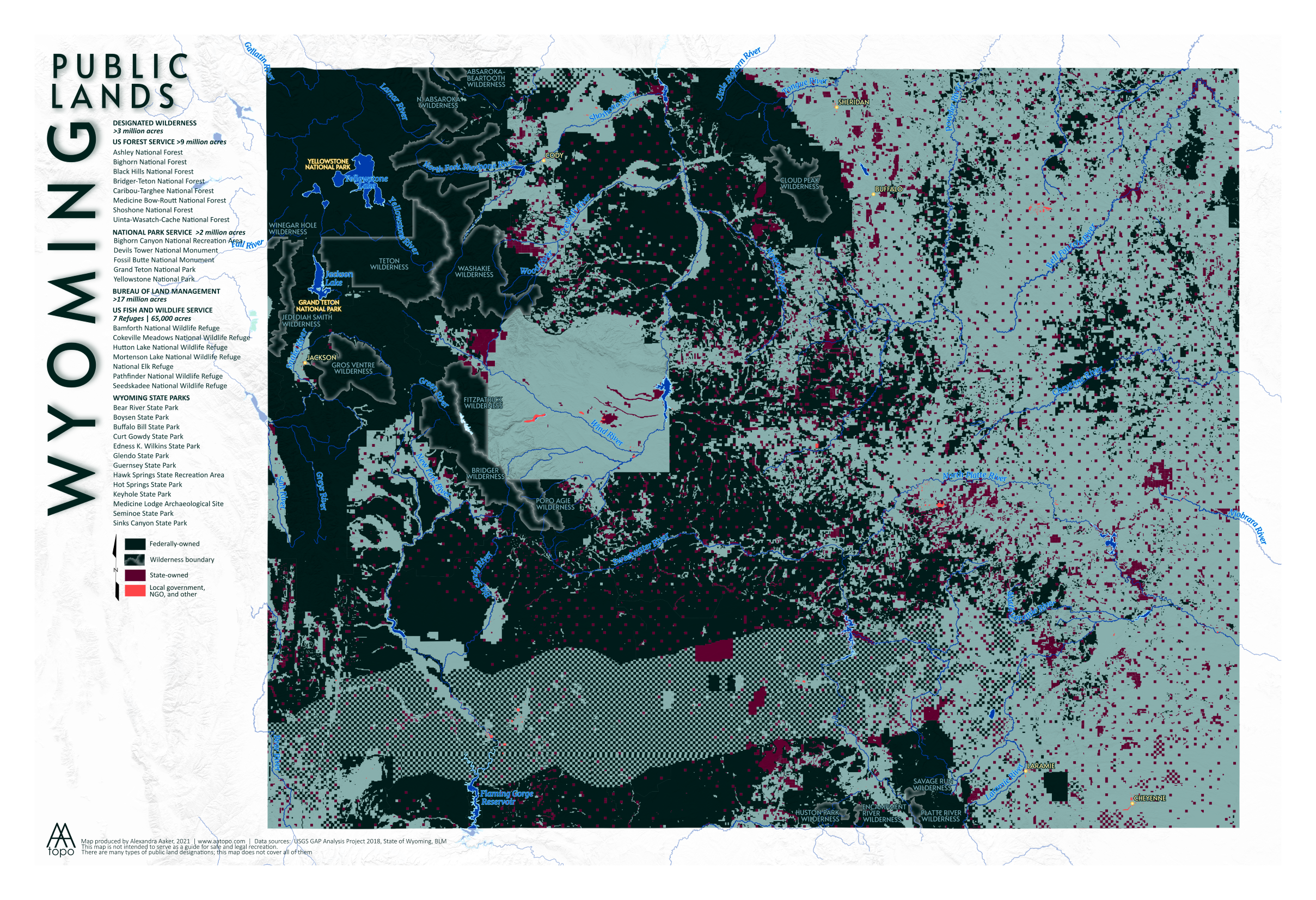
This project began when a local outdoor gear shop in Boise asked me to make a map that celebrated the concept of public lands and specifically the public land we enjoy in Idaho. When I first started working on the design, it looked a lot like a traditional government map of public lands, with the symbology corresponding to different agencies and types of public land. It was an overwhelming amount of information to show on a 13x19 sheet of paper. Then I had a thought - what what I really trying to communicate with this map? What I really wanted to show people was the truly impressive amount of land in Idaho that is designated public. With that as my goal, I cut back on all the different symbologies and extraneous information and just focused on making the public land area stand out. I ended up with an eye-catching design that makes me want to know more: what’s that chunk of private land in the midst of a sea of public? Why is there a checkerboard swath through the northern part of Nevada (more on that later). In any case, I got so obsessed I decided to make one for each of the western states (as of this post I still need to finish Montana, New Mexico, and Alaska).
There are some things I can’t address in these maps - the issue of Native American lands, or, “stolen land.” The fact that so much (well, all) of our public land belonged to Native Americans, and has since been taken from them. Except for reservations, which I do not include as public land (because they are not).
“Public land” can also be managed primarily for wildlife, biodiversity, water sources, and other goals that do not involve humans tromping around. This map sometimes shows those distinctions, but it is a level of detail that’s hard to capture in a small map. While I would love to hike or ride my bike or somehow experience every square foot of public land out there, I do appreciate that some places are better off when they are a little less disturbed by us humans.
I’ve barely scratched the surface of the issues facing the idea of public lands today, but while some uses and ideas are being challenged, I hope these maps can at least communicate the vast amount of land that is out there for anyone to access - whether that’s for backpacking, climbing, biking, hiking, camping, hunting, dirt biking, bird watching, or just sitting by a creek and reading a book. There’s something out there for everyone, and there’s room to enjoy the space while also considering the complex issues that face land management.
All the public lands maps available in my Etsy shop: AA Topo Maps
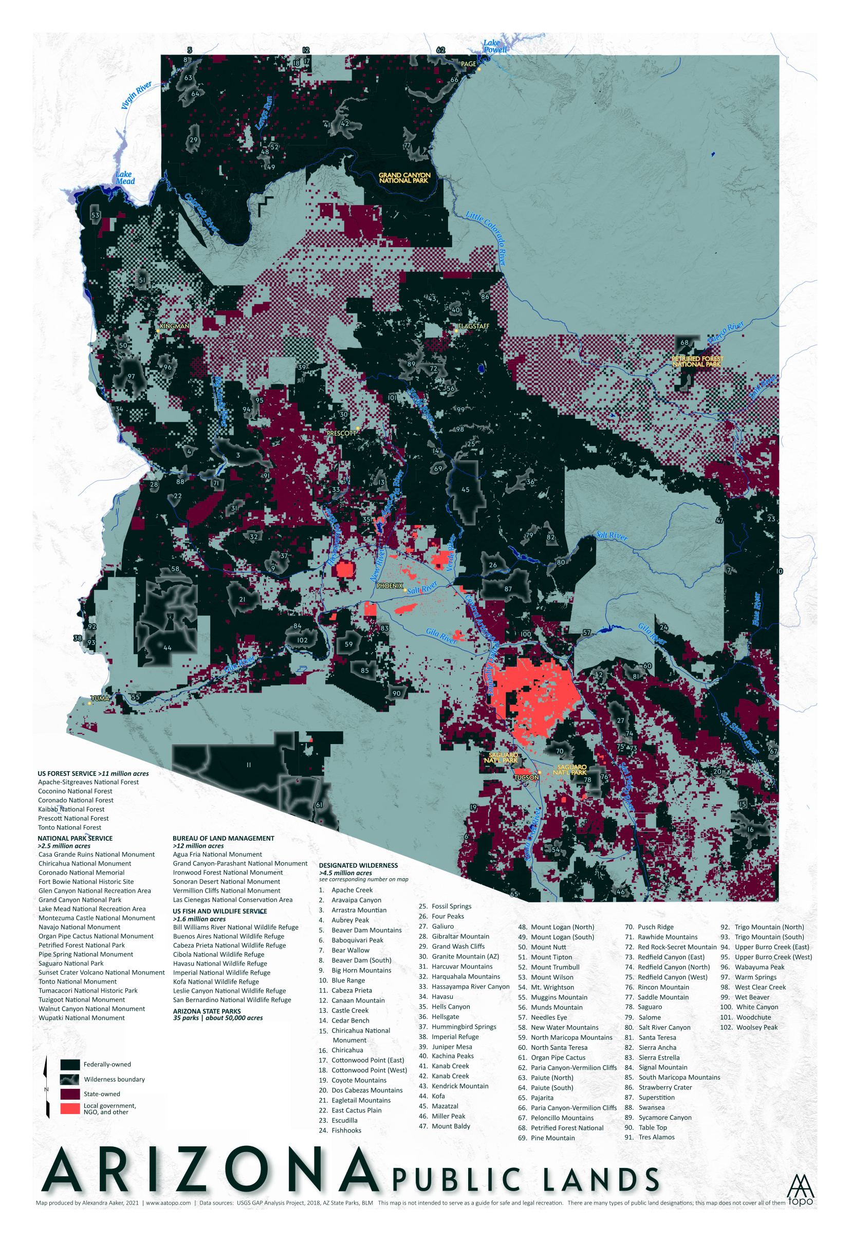
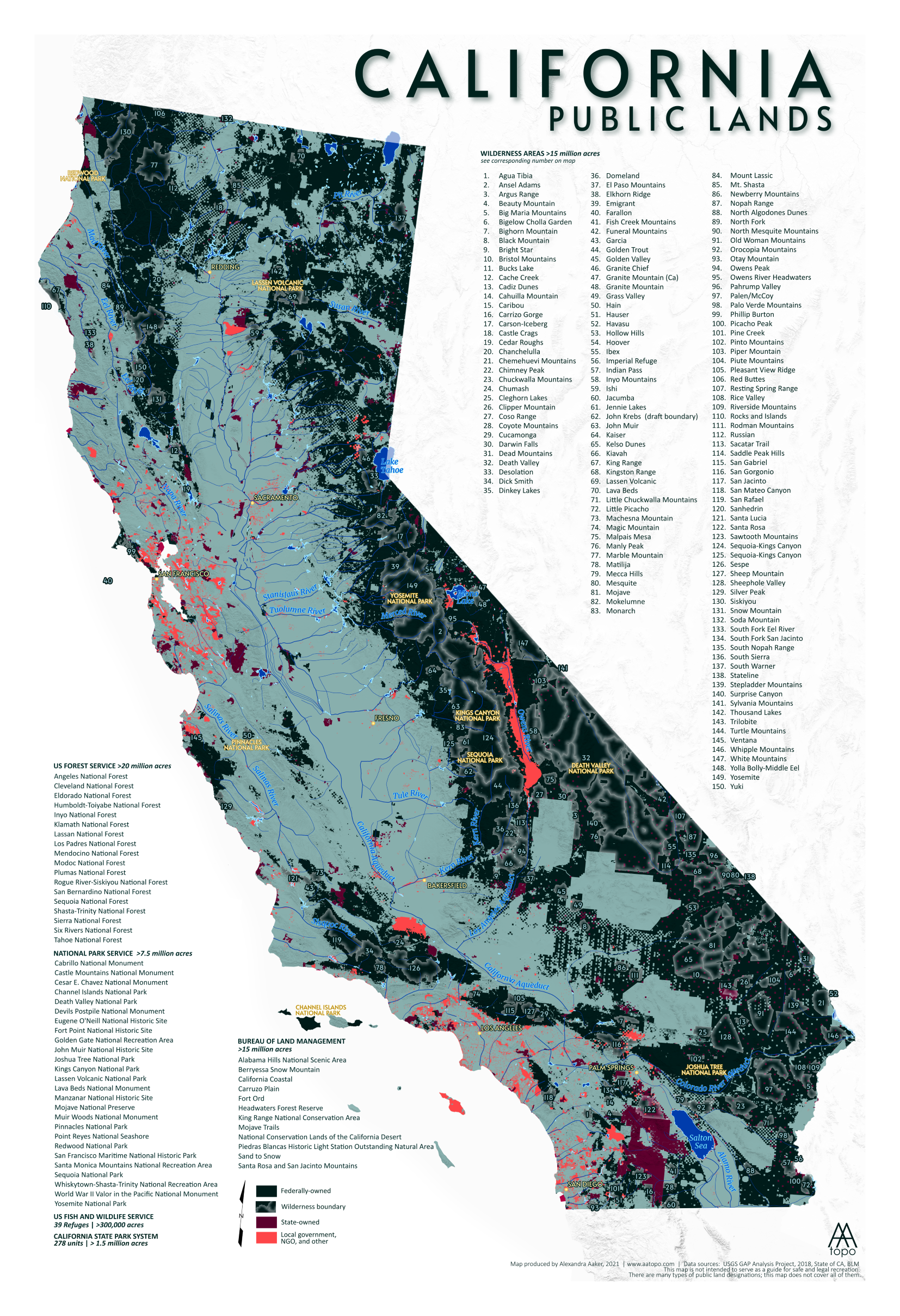
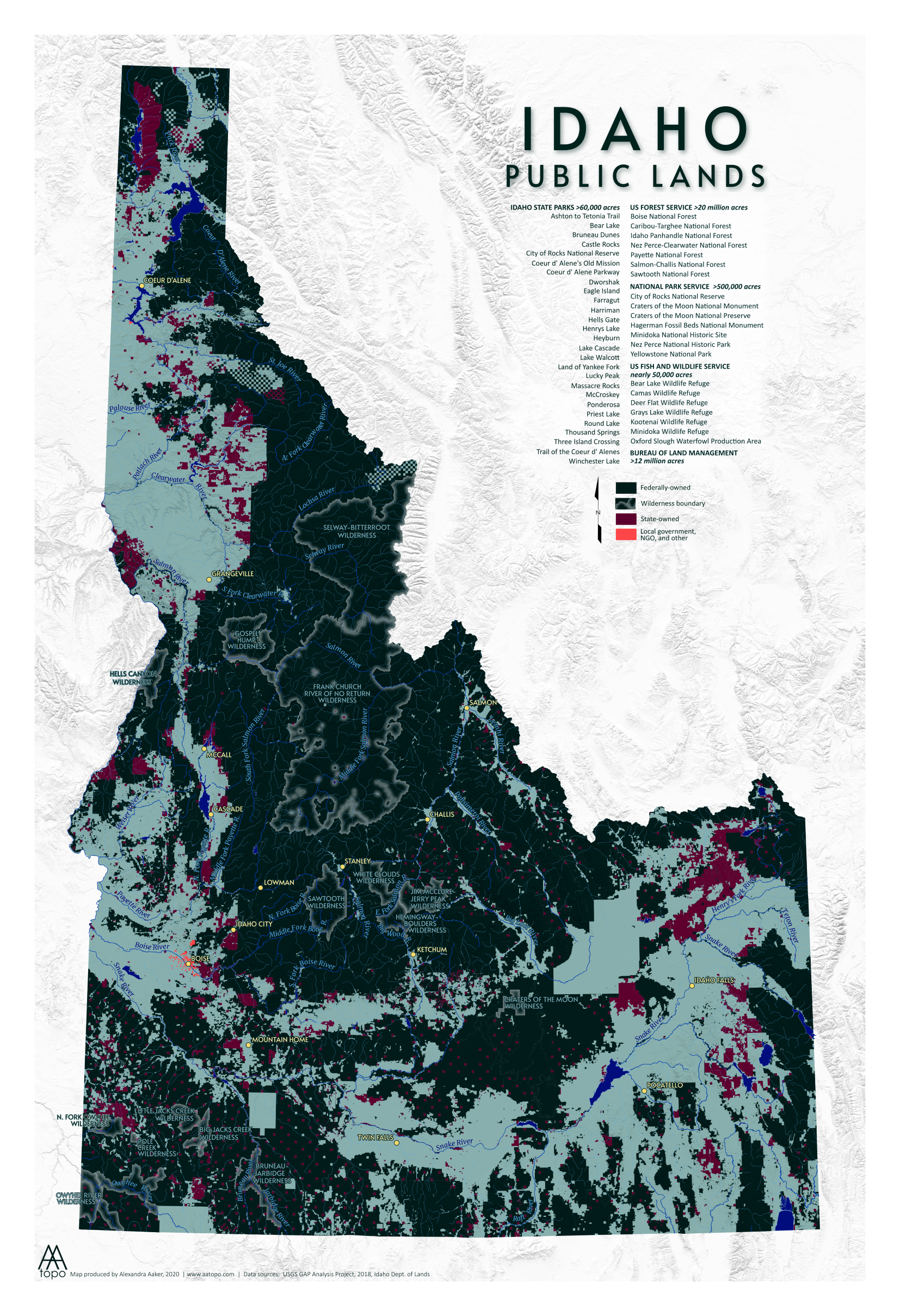
OF INTEREST
The checkerboard swaths in Nevada and Wyoming got my attention so I did a little research to try and figure out how the land came to be divided like this. What I found is that it is most likely a relic of the railroad land grants. Back in the day, railroads were granted every-other parcel of land, to aid in building the track that would connect the east to the west. The checkerboard swath surrounds the railroad, and now, the interstate. This checkerboard of public/private land ownership now causes a bit of a public land management nightmare (for obvious reasons). It also contributes to the issue of landlocked public lands. It’s estimated that there are nearly 16 million acres of public land in the west that are inaccessible to the public due to being surrounded by private land on all sides. Not cool! I know there are ongoing efforts to consolidate these tracts of land, but as you can see, much remains.
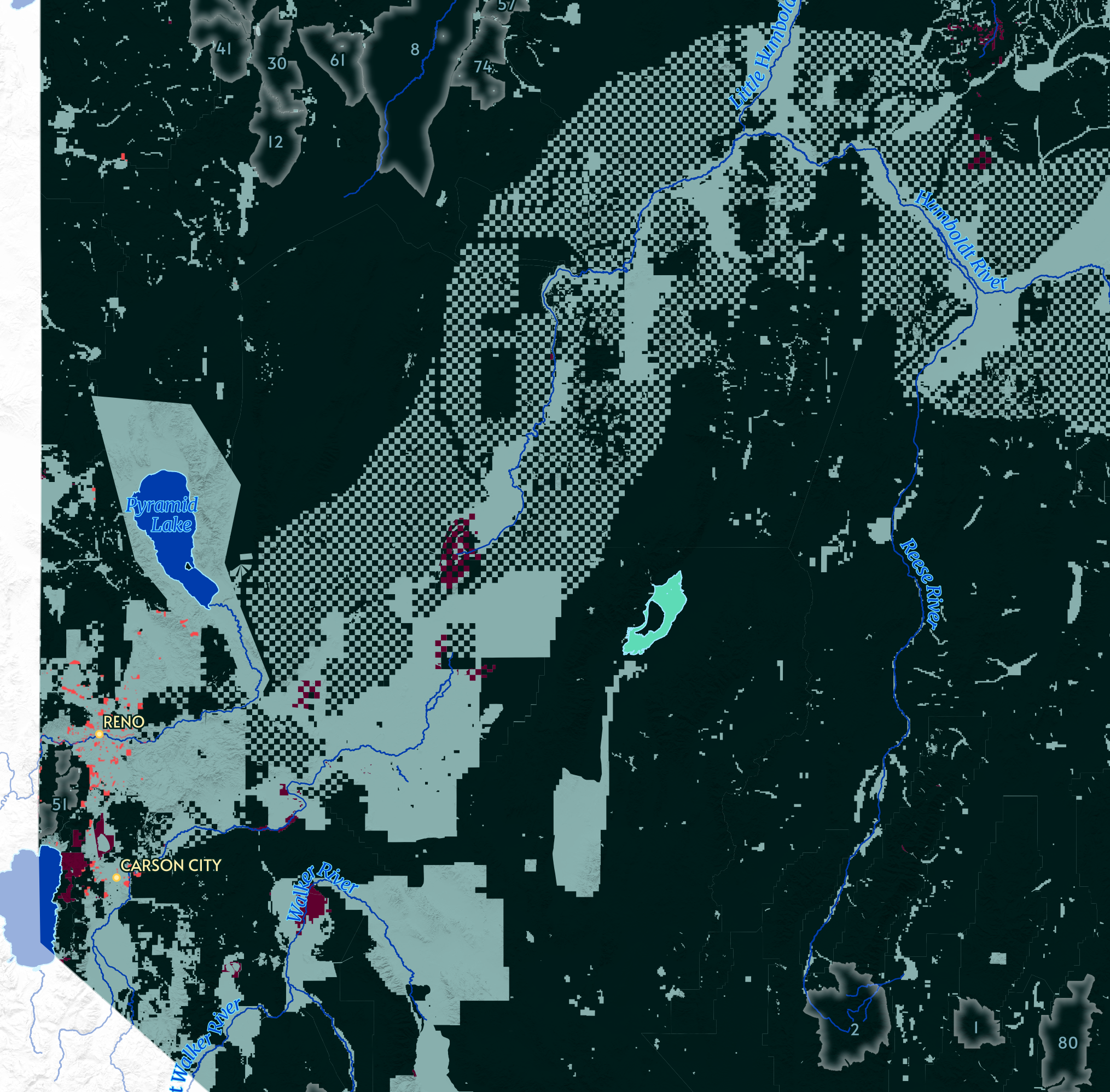
Nevada
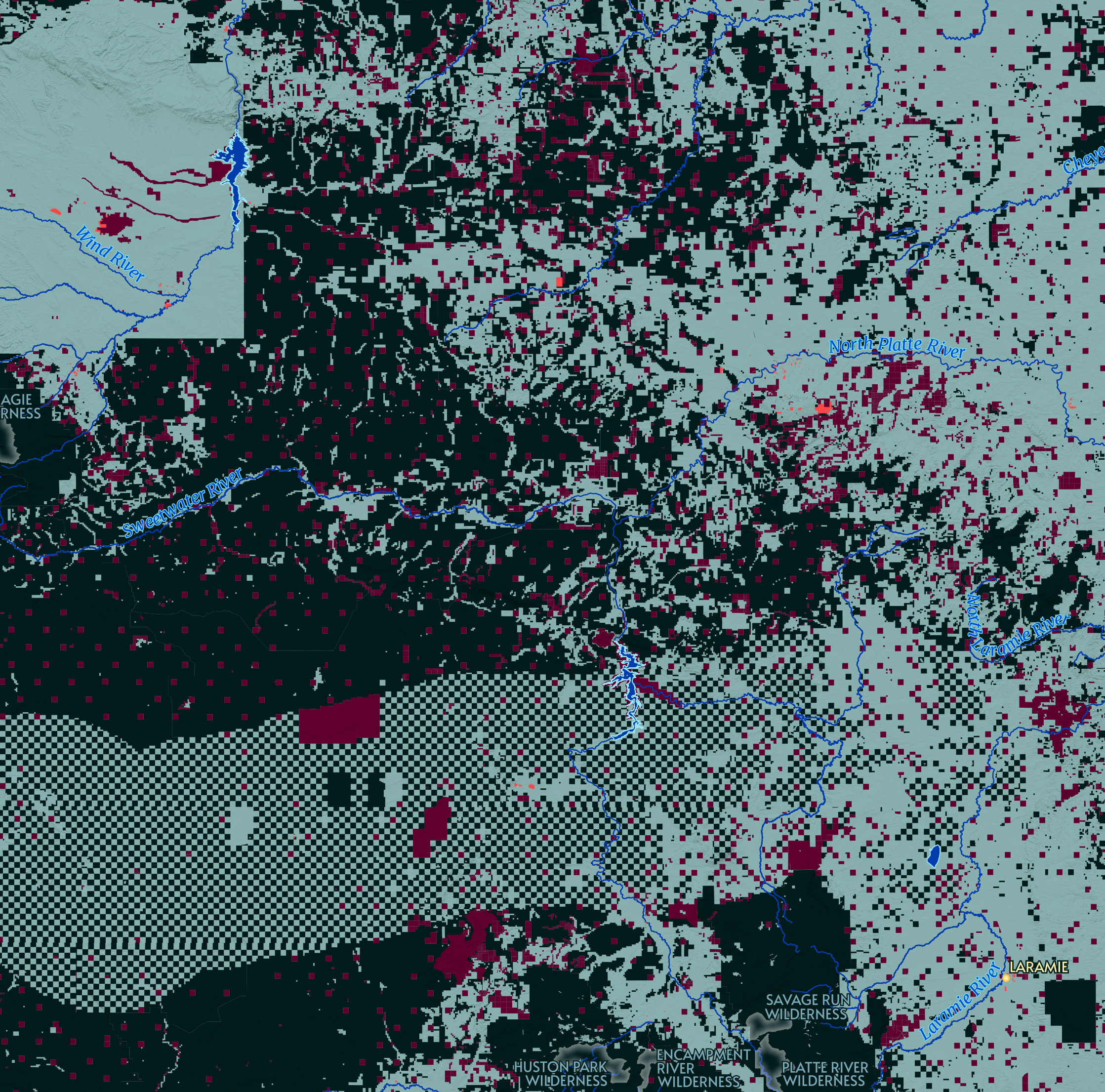
Wyoming